Multi Point Routing
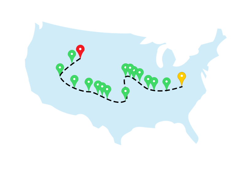
With BatchGeo Pro multi point mapping you can easily turn your spreadsheets data into visual guides for up to 25 locations. Smoothly import your Excel data and eliminate manual data entry with our custom tools.
Experience the streamlined efficiency of multi point route optimization and seamlessly integrate into your workflow with BatchGeo Pro.
Get Started
Streamline your route optimization with BatchGeo Pro
Effortlessly enhance your route optimization with BatchGeo Pro, converting spreadsheet data into visual guides for efficient multi point mapping. With BatchGeo Pro, you can effortlessly enhance your route optimization, smoothly import your Excel spreadsheets, and eliminate manual data entry with BatchGeo Pro Multi point mapping.

Route Optimization for Up to 25 Locations:
BatchGeo Pro distinguishes itself by offering route optimization capabilities for up to 25 locations. This feature is particularly beneficial for businesses with multiple stops, allowing them to streamline their routes efficiently, whether for deliveries or sales visits.

Optimal Route Generation:
One of the core features of BatchGeo Pro is its ability to generate optimal routes between selected points. Users can choose specific locations on the map, and the tool calculates and visually presents the most efficient route. This capability is invaluable for planning and executing journeys with multiple stops.

Selection Tools for Precise Mapping:
BatchGeo Pro provides advanced selection tools, including a digital measuring tape, Rectangle selection tool, Circle selection tool, and Polygon selection tool. These tools empower users to precisely choose points on the map for route optimization, ensuring a tailored and efficient mapping experience.

Flexibility in Starting and Ending Locations:
Users have the flexibility to choose starting and ending locations for route optimization in BatchGeo Pro. Whether opting for the first selected waypoint or manually entering specific locations, this flexibility accommodates diverse user preferences and specific mapping scenarios.

Integration with Google Maps:
Seamless integration with Google Maps is a standout feature, allowing users to transition effortlessly from BatchGeo Pro to Google Maps directions. This integration bridges the gap between route planning and real-time navigation, enhancing the overall mapping experience.
A Quick Guide to Multi-Point Mapping
For more information on how to create a map using excel spreadsheet data, watch our short video.
Ready to Try BatchGeo?
We love maps, and we think they should be easy to make. That’s why we built BatchGeo, the fastest way to create Google Maps with your data. If you’re ready to jump in and start mapping your data, the best way to get a feel for BatchGeo is to try our free tool.
Get Started
